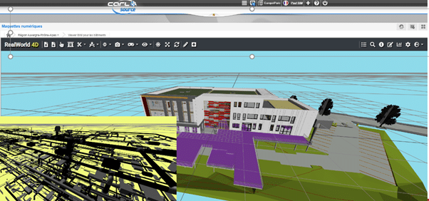
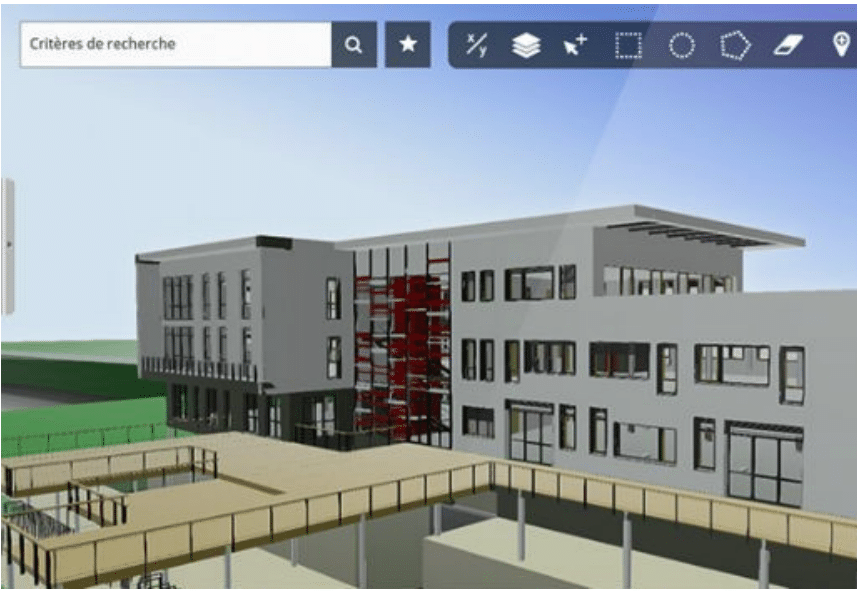
CARL Software’s ambition is to become a major player in operational BIM solutions. Accordingly, it has enhanced the CARL Maps module of its CARL Source software package with solutions for interacting with data from digital models.
CARL Maps is a multi-scale solution for processing and interacting with maps (GIS), plans and BIM models directly via native CARL Source functions.
CARL Maps: expected benefits for operators CARL Software have designed an IFC connector and implemented an API for incorporating 3D aspects of models into the CARL Source CMMS by integrating 3D viewing solutions available on the market.
Furthermore, you can also visit https://iengaust.com.au/software/carl-cmms-eam/
Or follow us at: https://www.linkedin.com/company/iengineering-australia/
For enquiries, please contact enquiries@iengaust.com.au